What to know
Hachimantai (八幡平) is a relatively flat-topped mountain with a summit at 1613 meters above sea level, often referred to as a plateau. It is the third highest mountain in Towada-Hachimantai National Park after Mount Iwate and Mount Akita-Komagatake, offering pleasant mountain scenery.
The Hachimantai Aspite Line, a former toll road, provides access to the area and connects Akita and Iwate Prefectures. It leads to within a short walk of the summit and passes by Goshogake Onsen. The road is partially closed in winter.
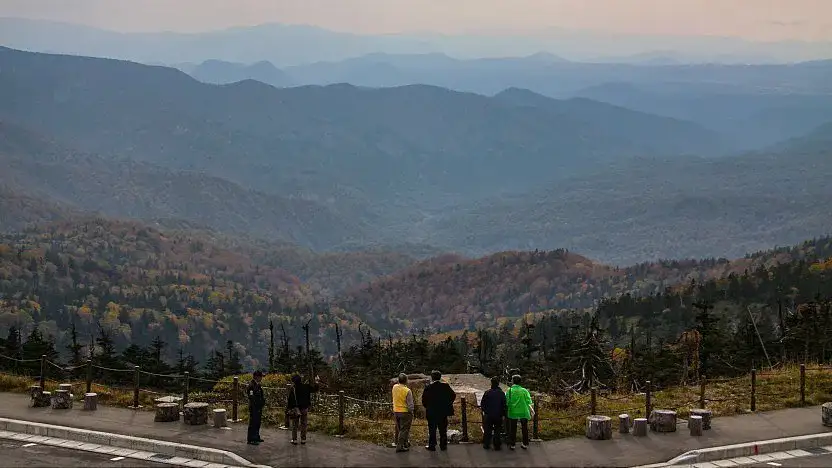
A network of walking trails from a parking lot along the road leads to the summit, with easy walks ranging from 40 minutes to two hours. The trails pass numerous ponds and cut through evergreen forests. At the summit, a small observation platform offers views over the treetops, though the flat top limits dramatic vistas.
The trails also lead to and around Hachiman-numa Pond, which has a circumference of about one kilometer—much larger than other ponds along the way. Small marshlands flank the pond. Autumn colors around the summit are usually best in early October, with the finest views along the road.
Mount Hachimantai is accessible by bus or car via the Hachimantai Aspite Line from Iwate Prefecture (east) or Akita Prefecture (west). The mountain is inaccessible from early November to late April when the upper section of the road closes.
From mid-April to late October, one direct bus per day runs between Morioka Station and the Hachimantai-chojo bus stop near the summit (2 hours, around 1700 yen one way).
Visitor information
Practical details to check before planning this stop.
- Hours
- Closed
- Admission
- English name
- Original name
- Mount Hachimantai
Verify details before visiting. Currency conversion is indicative and may vary over time.