
What to know
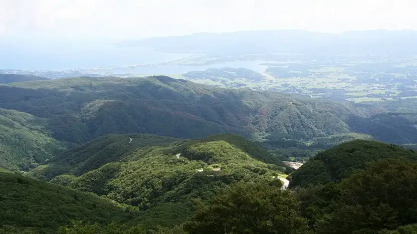
The Osado Skyline (大佐渡スカイライン, Ōsado Skyline) is a scenic mountain road winding through the Osado Mountains in northern Sado Island. It connects Chigusa in the island's center to the Sado Gold Mine. This toll-free, winding drive takes about an hour and offers panoramic views from several lookout points.
About halfway along, you'll find an older rest area with a viewing deck, restaurant, and restrooms. From here, you can hike to the summit of Mount Kinpokusan, Sado Island's highest peak, in about 90 minutes. The entire Osado Skyline is accessible only by car, as there is no public bus service along this route.
How to get to and around Sado Island
Visitor information
Practical details to check before planning this stop.
- Hours
- Closed
- Admission
- English name
- Original name
- Osado Skyline
Verify details before visiting. Currency conversion is indicative and may vary over time.